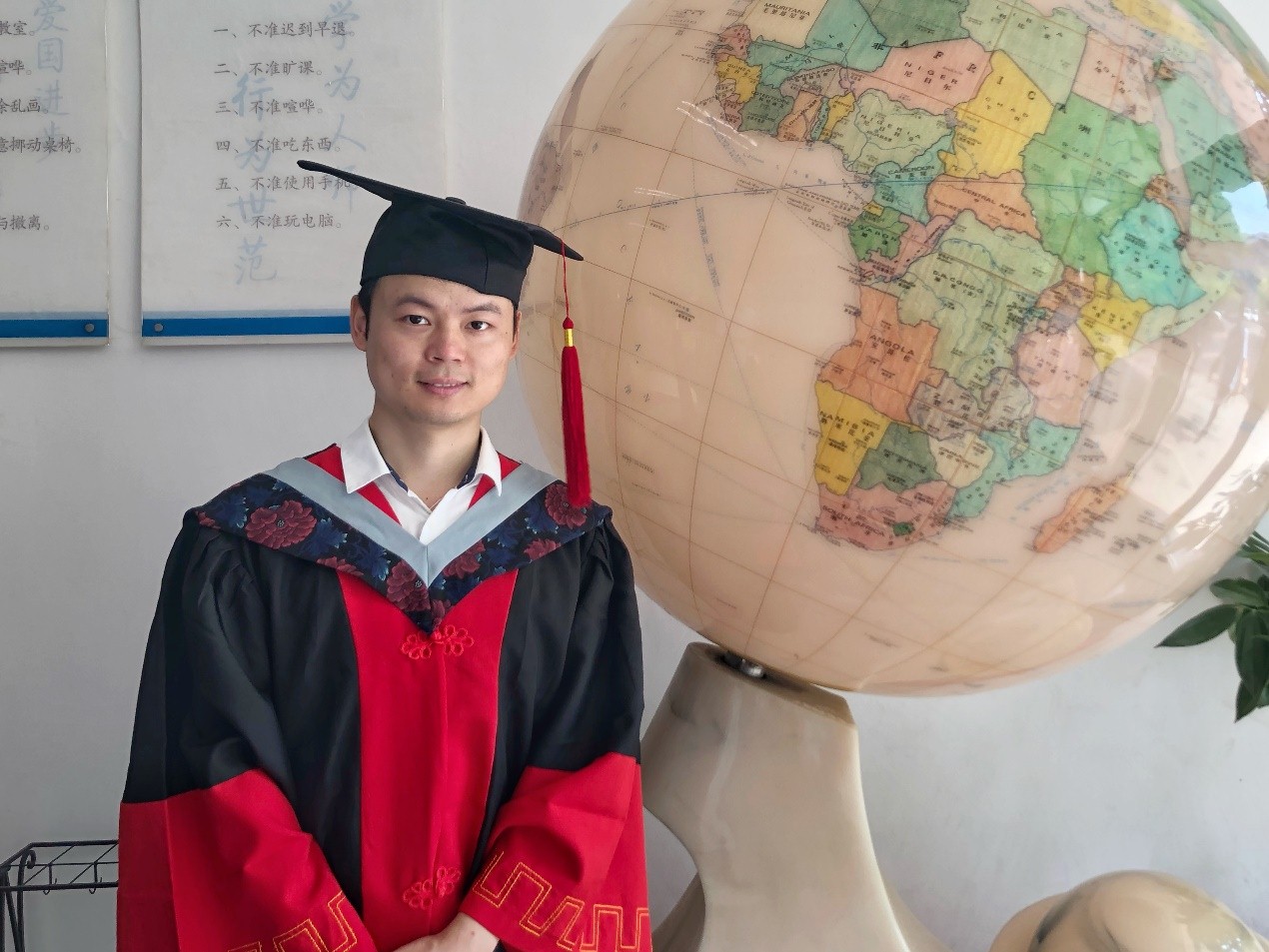
博士 |
研究方向:地理信息系统分析与可视化,地图空间认知,行人地图导航 |
邮箱:liaohua@hunnu.edu.cn |
系科: 地理信息科学 |
教育经历 |
2014.9-2019.6 北京师范大学 地理科学学部 地图学与地理信息系统 博士
2011.9-2014.6 北京师范大学 地理科学学部 地图学与地理信息系统 硕士
2007.9-2011.6 湖南师范大学 资源与环境科学学院 地理信息系统 学士
工作经历 |
2019.9-至今 湖南师范大学 资源与环境科学学院 讲师
学术成果 |
期刊论文:
董卫华, 廖华* (通讯作者), 詹智成等. 2019. 2008年以来地图学眼动与视觉认知研究新进展. 地理学报. 74(3): 599-614.
Liao, H., Dong, W., Huang, H., et al. 2019. Inferring user tasks in pedestrian navigation from eye movement data in real-world environments. International Journal of Geographical Information Science, 33(4): 739–763. DOI: https://doi.org/10.1080/13658816.2018.1482554. (SCI & SSCI)
Liao, H., Wang, X., Dong, W., et al. 2019. Measuring the influence of map label density on perceived complexity: A user study using eye tracking. Cartography and Geographic Information Science, 46(3): 210–227. DOI: https://doi.org/10.1080/15230406.2018.1434016. (SSCI)
Liao, H., Dong, W., Peng, C., et al. 2017. Exploring differences of visual attention in pedestrian navigation when using 2D maps and 3D geo-browsers. Cartography and Geographic Information Science, 44(6), 474-490. DOI: https://doi.org/10.1080/15230406.2016.1174886. (SSCI)
Liao, H. and Dong, W. 2017. An exploratory study investigating gender effects on using 3D maps for spatial orientation in wayfinding. ISPRS International Journal of Geo-Information, 6(3), 1-19. DOI: https://doi.org/10.3390/ijgi6030060. (SCI)
Liao, H., Dong, W., Liu, H., et al. 2015. Towards Measuring and Visualizing Sustainable National Power—A Case Study of China and Neighboring Countries. ISPRS International Journal of Geo-Information, 4(3), 1672-1692. DOI: https://doi.org/10.3390/ijgi4031672. (SCI)
Dong, W., Liao, H., et al. 2014. Eye tracking to explore the potential of enhanced imagery basemaps in web mapping. The Cartographic Journal, 51(4), 313-329. DOI: https://doi.org/10.1179/1743277413Y.0000000071. (SSCI)
Dong, W., Liao, H., et al. 2014. Using eye tracking to evaluate the usability of animated maps. Science China Earth Sciences, 57(3), 512-522. DOI: https://doi.org/10.1007/s11430-013-4685-3. (SCI)
Dong, W., Liu, Z., Liao, H., et al. 2015. New climate and socio-economic scenarios for assessing global human health challenges due to heat risk. Climatic Change, 130, 505-518. DOI: https://doi.org/10.1007/s10584-015-1372-8. (SCI)
Dong, W., Zhang, S., Liao, H., et al. 2016. Assessing the effectiveness and efficiency of map colour for colour Impairments using an eye-tracking approach The Cartographic Journal, 53(2), 166-176. DOI: https://doi.org/10.1179/1743277413Y.0000000053. (SSCI)
Wang, C., Chen, Y., Zheng, S., Liao, H. et al. 2018. Gender and Age Differences in Using Indoor Maps for Wayfinding in Real Environments. ISPRS International Journal of Geo-Information, 8(1), 11. DOI: https://doi.org/10.3390/ijgi8010011 (SCI)
Dong, W., Li, X., Yang, P., Liao, H., et al. 2016. The Effects of Weather Factors on Hand, Foot and Mouth Disease in Beijing. Scientific reports, 6(19247), 1-9. DOI: https://doi.org/10.1038/srep19247. (SCI)
Dong, W., Liu, Z., Zhang, L., Qang, Q., Liao, H., et al. 2014. Assessing Heat Health Risk for Sustainability in Beijing’s Urban Heat Island. Sustainability, 6(10), 7334-7357. DOI: https://doi.org/10.3390/su6107334. (SCI & SSCI)
Chen, J., Li, R., Dong, W., Ge, Y., Liao, H., et al. 2015. GIS-Based Borderlands Modeling and Understanding: A Perspective. ISPRS International Journal of Geo-Information, 4(2), 661-676. DOI: https://doi.org/10.3390/ijgi4020661. (SCI)
Liu, Z., Anderson, B., Yan, K., Liao H., et al. 2017. Global and regional changes in exposure to extreme heat and the relative contributions of climate and population change. Scientific reports, 7, 43909. DOI: https://doi.org/10.3390/10.1038/srep43909. (SCI)
周秋文, 杨胜天, 廖华等. 2016. 地缘环境单元划分方法及实例研究. 世界地理研究, 25(4), 58-66.
著作:
董卫华,杨胜天,葛岳静,周尚意,吴殿廷,廖华,蓝建航,王雪元,2015,中国周边地缘环境信息系统: 设计、开发与制图,北京:科学出版社.
计算机软件著作权:
中国周边地缘环境信息系统v0.1,作者:廖华,董卫华
承担/参与课题与项目 |
1. 湖南省教育厅科学研究项目,优秀青年项目,“面向空间认知的行人地图导航行为模式挖掘”,2020-2022,主持
2. 国家自然科学基金面上项目,41871366,基于眼动跟踪的行人地图导航行为模式识别与预测方法研究,2019/01-2022/12,参与
3. 国家重点研发计划项目,2017YFB0503602,“地理大数据挖掘与时空模式发现”子课题“地理大数据位置多重感知”,2017/07-2021/06,参与
4. 国家自然科学基金面上项目,41471382,基于视觉注意与眼动跟踪的地图认知计算模型与方法研究,2015/01-2018/12,参与
5. 国家高技术研究发展计划(863计划),2012AA12A204,“导航与位置服务系统关键技术及应用示范(一期)”子课题“导航与位置空间信息内容服务平台技术”,2012/01-2014/12,参与
6. 国家科技支撑计划项目,2012BAK12B03,“数字周边构建与地缘环境分析关键技术研究”子课题“周边地缘环境信息建模与安全评估关键技术研究”,2012/01-2014/12,参与
承担课程 |
本科生课程:《计算机图形学》
研究生课程:《遥感与大数据应用》


 当前位置:
当前位置: